Cloud Cover and Concealment: Why Belarus Turned Its Weather Forecasts Into Classified Material
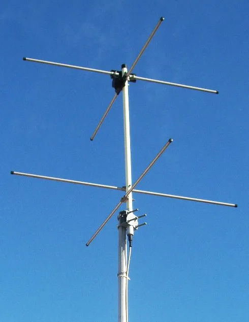
Photo: Derived work: Chetvorno Original work: K. Krallis, SV1XV, Attribution, via Wikimedia Commons
In most countries, the weather is the most boring data imaginable. Barometric pressure, wind speed at ten meters, cloud cover at dawn — the kind of information that fills local newscasts between traffic and sports. In Belarus, that same information has gradually been reclassified as something closer to a state secret.
Since the full-scale invasion of Ukraine began in February 2022, Minsk has restricted public access to meteorological observations, satellite imagery, and hydrological data with remarkably little fanfare. No press conference announced the change. No law was debated on television. Datasets that researchers, farmers, and aviation buffs once downloaded freely simply stopped updating — or disappeared behind login walls and vague licensing agreements.
For American readers accustomed to the National Weather Service publishing everything from radar loops to river gauges in real time, the shift may seem baffling. But in the context of a war next door, the logic becomes chillingly clear: weather data is military data.
What the Forecast Reveals
Consider what a weather station actually measures. Temperature and humidity profiles help predict fog banks — critical for planning helicopter operations or drone flights. Wind data at altitude shapes artillery trajectories and the dispersal of smoke screens. Precipitation records can confirm or deny whether a muddy field could support a heavy armored column, or whether a frozen river crossing might hold.
In a country hosting Russian forces, staging areas, and — for a period in 2023 — Wagner Group fighters, each of these variables becomes operationally sensitive. If an outside analyst can track fog formation patterns near a military airfield, they gain a partial window into when that airfield can launch or recover aircraft unseen.
Belarusian authorities appear to have internalized this. Restrictions have fallen unevenly but consistently: some observation points stopped reporting to international exchanges, satellite data portals added restrictions, and detailed regional forecasts grew coarser for the general public.
The Watchers Who Kept Watching
Here is where the story turns from a bureaucratic footnote into something genuinely revealing. A loose international network of weather hobbyists, OSINT researchers, and commercial satellite firms refused to let the record go dark.
Amateur meteorologists in Poland, Lithuania, and the United States began cross-referencing whatever Belarusian data still leaked out — aircraft observations, ship reports from the Baltic, foreign weather models that ingest global data — to reconstruct what Minsk was hiding. Commercial providers like Planet and Maxar, unbound by Belarusian restrictions, kept imaging the territory daily. When a weather station near a military zone went silent, the silence itself became a data point.
This is the paradox at the heart of the story: by classifying the weather, Belarus confirmed its importance. Governments do not hide trivial things. A country that treats its wind measurements like weapons schematics is telling the world something about what it plans to do with those measurements.
A Familiar Playbook for American Readers
There is precedent in American history for weather as a strategic asset. During World War II, the US military treated Greenland and Icelandic weather stations as prize objectives precisely because Atlantic forecasts determined convoy routing and U-boat hunting. In the Cold War, the first Corona reconnaissance satellites were, in part, about seeing what closed societies would not show.
Minsk's lockdown belongs to that tradition — with a modern twist. Today, the secrecy is undermined not by spy planes but by a teenager in Wisconsin with a Python script and access to public satellite passes. The democratization of intelligence has made blanket weather concealment nearly impossible; it can only delay and degrade, not erase.
What the Silence Says
For analysts tracking Belarus's role in the war, the data restrictions serve as a barometer of the country's own posture. Periods of intensified secrecy have roughly coincided with heightened Russian activity on Belarusian territory — joint exercises, munitions transfers, airfield upgrades. The record is not conclusive, and this article does not claim it is. But the correlation offers yet another indicator, alongside troop movements and rail traffic, that Washington's policy community would be unwise to ignore.
It also underscores a broader lesson about modern conflict: the infrastructure of transparency — weather services, shipping registries, flight trackers — built for civilian convenience doubles as an intelligence layer that authoritarian states can no longer fully suppress. Belarus can close its stations. It cannot close the sky above them.
The next time a Belarusian dataset quietly goes dark, don't think of it as a missing weather report. Think of it as a signal — one that says something is happening that Minsk would prefer nobody watch.
And increasingly, thanks to the persistence of open-source watchers on both sides of the Atlantic, somebody always is.